The Florida Inland Navigation District and the Intracoastal Waterway
The Atlantic Intracoastal Waterway through the Indian River was dredged in stages between 1881 and 1965, deepening a natural lagoon system into a continuous navigation channel.
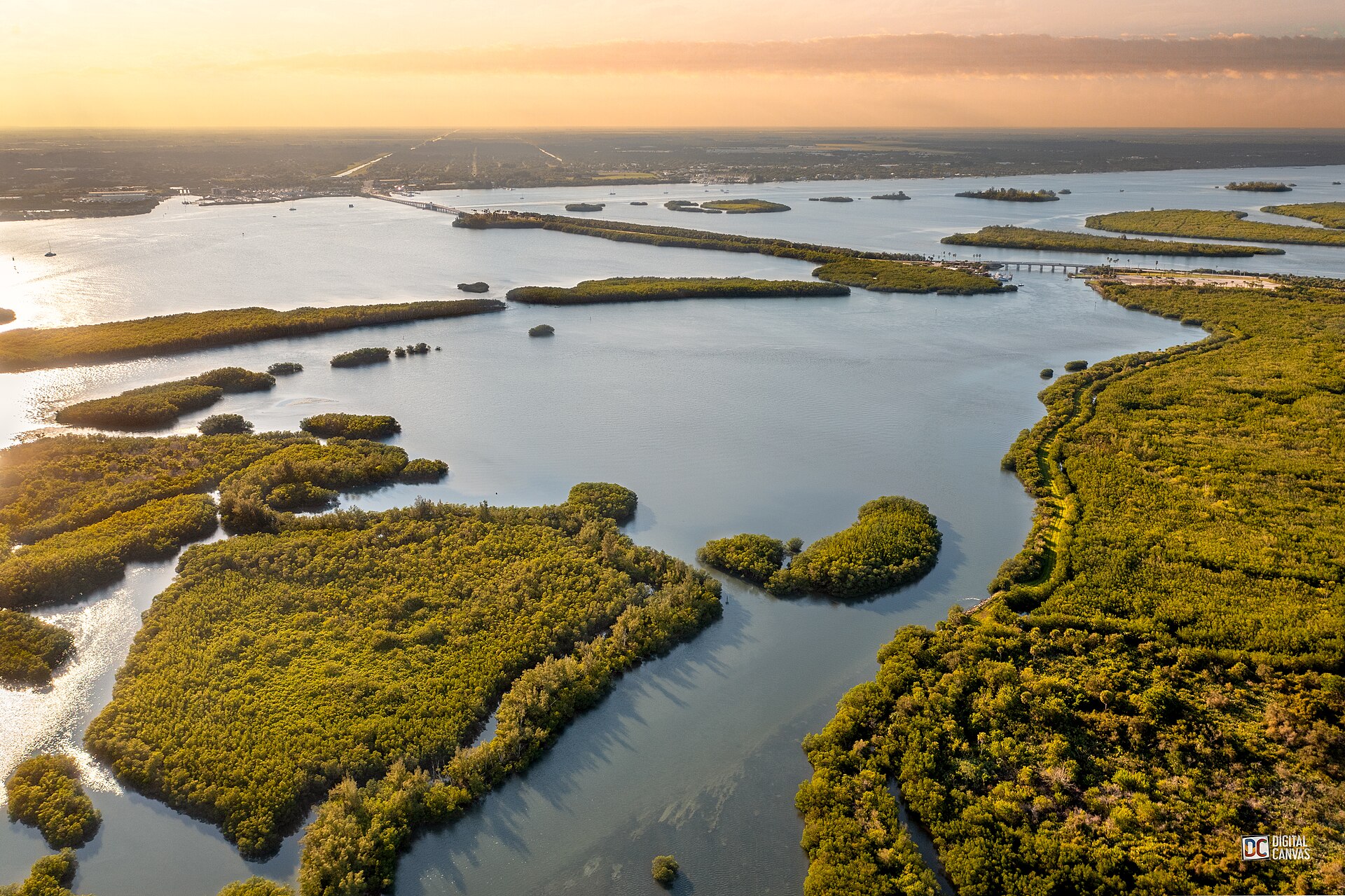
The Atlantic Intracoastal Waterway is a 1,090-mile sheltered boat channel running from Norfolk, Virginia to Key West, Florida. The Brevard County section runs about 70 miles through the Indian River Lagoon and the Banana River, hugging the western shore for most of its length. It was not a single construction project. It was a 90-year evolution of state and federal dredging that took a natural shallow lagoon and turned it into a continuous 10-foot deep, 125-foot wide navigation channel.
What the lagoon looked like before dredging
The Indian River Lagoon in 1880 was shallow, irregular, and intermittently navigable. Most of the lagoon ran 3 to 5 feet deep on average, with channels of up to 8 feet in spots and extensive flats running 1 to 2 feet at low tide. The barrier-island connection to the ocean was through inlets that opened and closed with storms, Sebastian Inlet, for example, was frequently silted shut for years at a time before federal stabilization in the 1920s.
Steamboats running the lagoon had to know the channel intimately. Captains used local pilots, kept narrow-draft hulls, and accepted regular groundings as a cost of business. Larger vessels, drawing 7 feet or more, were essentially shut out of the lagoon entirely except in the dredged inlet areas.
The first state efforts, 1881-1910
Florida began organized dredging of the Indian River as early as 1881, primarily to deepen the channel for steamboat freight. The work was funded by a combination of state appropriations and private subscriptions from grove owners and merchants along the lagoon. The early dredges were small steam-powered side-cutting machines that could remove perhaps 200 to 400 cubic yards per day.
The 1881-1910 period of state work produced a generally usable steamboat channel along the lagoon at depths of 5 to 6 feet through most of Brevard. The work was inconsistent, funds ran out, dredges broke down, hurricanes refilled freshly dug channels, but the cumulative effect was a more reliable steamboat route by 1900 than had existed in 1880.
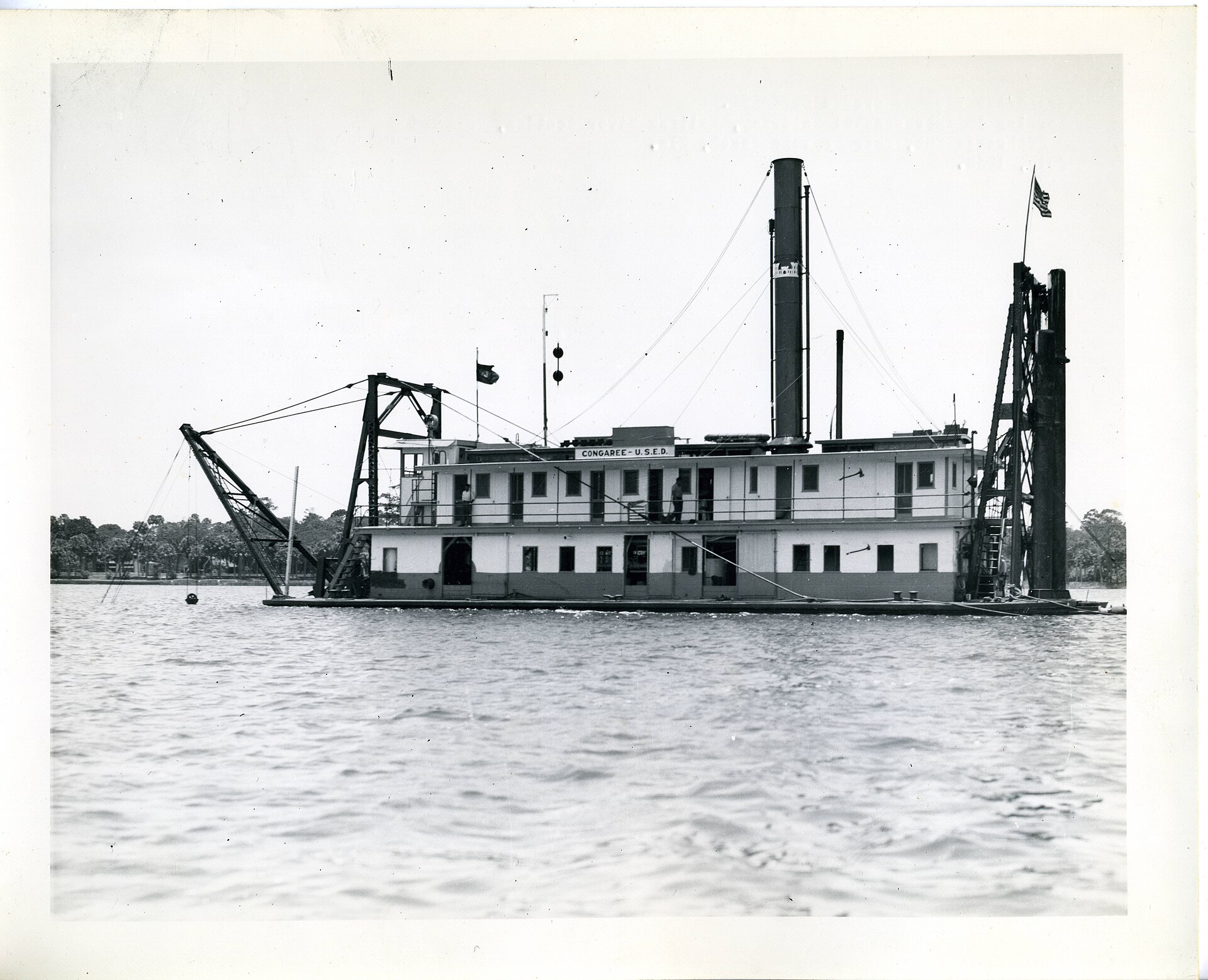
The federal era begins, 1910-1930
The federal government took over major ICW dredging through the Rivers and Harbors Acts beginning in 1909 and continuing through the 1920s and 1930s. The Army Corps of Engineers’ Jacksonville District absorbed the inherited state projects and began systematic dredging to a project depth of 7 feet, then 8 feet, then eventually 10 feet.
The 1920s saw the largest single round of Brevard ICW work. Major projects included:
- Sebastian Inlet stabilization, 1924
- Banana River channel dredging connecting Cocoa Beach to the main ICW route, 1925-1927
- Replacement of the natural Mosquito Lagoon route with the dredged Haulover Canal extension at the north end of the Indian River, 1928
The Haulover Canal at the north end of the IRL connects the Indian River system to the Mosquito Lagoon, which connects to the ocean at Ponce Inlet. Before the canal was dredged to its modern dimensions, vessels traveling the ICW north of Cape Canaveral had to either round the Cape itself in the Atlantic or accept severely limited draft. The 1928 Haulover work, expanded in 1957, made continuous ICW navigation through Brevard practical for the first time.
The Florida Inland Navigation District
The Florida Inland Navigation District was created by Florida special act in 1927 to provide local match funding for federal ICW projects. FIND’s territory covers the 12 east-coast Florida counties from Nassau to Miami-Dade. The agency’s principal job is acquiring spoil-disposal sites for ICW dredging, when the Corps of Engineers digs the channel, the spoil has to go somewhere, and FIND owns and manages the disposal islands.
Brevard FIND projects since 1928 include:
- Spoil island acquisition along the Indian River and Banana River, totaling roughly 800 acres
- Right-of-way acquisition for channel widening projects
- Local matching funds for maintenance dredging
The agency continues today, with current annual operations budget around $20-25 million, funded by a small ad valorem tax in the member counties.
The dredged channel today
The modern Brevard ICW channel runs 125 feet wide and 10 feet deep through the Indian River and the Banana River. The channel is marked with red and green navigation buoys and lighted markers maintained by the US Coast Guard. The Corps of Engineers performs maintenance dredging on a roughly 10-year cycle to remove sediment that accumulates from natural deposition and from runoff inputs.
The channel passes through five major bridge crossings in Brevard:
- Max Brewer Bridge / Titusville (65 feet vertical clearance)
- NASA Causeway (limited vertical clearance, restricted to authorized traffic)
- SR 528 / Bennett Causeway (65 feet)
- SR 520 / Merritt Island Causeway (65 feet)
- Eau Gallie Causeway / SR 518 (65 feet)
- Indialantic Causeway / US 192 (65 feet)
- Sebastian Inlet bridge (south end of county, 75 feet)
The 65-foot clearance standard is the federal ICW design standard, set in the 1960s to accommodate masts of medium-sized sailboats. Larger sailboats with masts over 60 feet are restricted to coastwise routes outside the ICW.
Sediment, dredging, and the lagoon problem
The dredging that created the ICW also created the lagoon’s chronic sediment problem. Spoil disposal islands constructed in the 1920s-1960s changed local circulation patterns. Channel deepening reduced the lagoon’s average residence time for water, which paradoxically reduced the rate of sediment flushing in some areas. Maintenance dredging keeps the channel open but redistributes muck within the lagoon, contributing to the chronic water-quality problems documented in the IRL ecosystem (see our “Indian River Lagoon Ecosystem” article).
The 2010s “muck dredging” initiatives funded by the Save Our Indian River Lagoon sales tax and by Florida state appropriations are specifically targeted at removing the accumulated nutrient-rich sediment that has built up in lagoon backwaters since the ICW dredging began. These projects, which have removed roughly 5 million cubic yards of muck from the IRL since 2015, are not navigation dredging, they are environmental restoration dredging, addressing the unintended consequences of a century of navigation dredging.
What the ICW enabled
The ICW made commercial barge traffic through Brevard practical for the first time. From the 1930s through the 1980s, the channel carried significant commercial tonnage, primarily petroleum products and construction materials. By the 1990s, commercial barge traffic had largely ended, replaced by truck and rail freight. The channel today carries primarily recreational boating and a small amount of commercial passenger traffic.
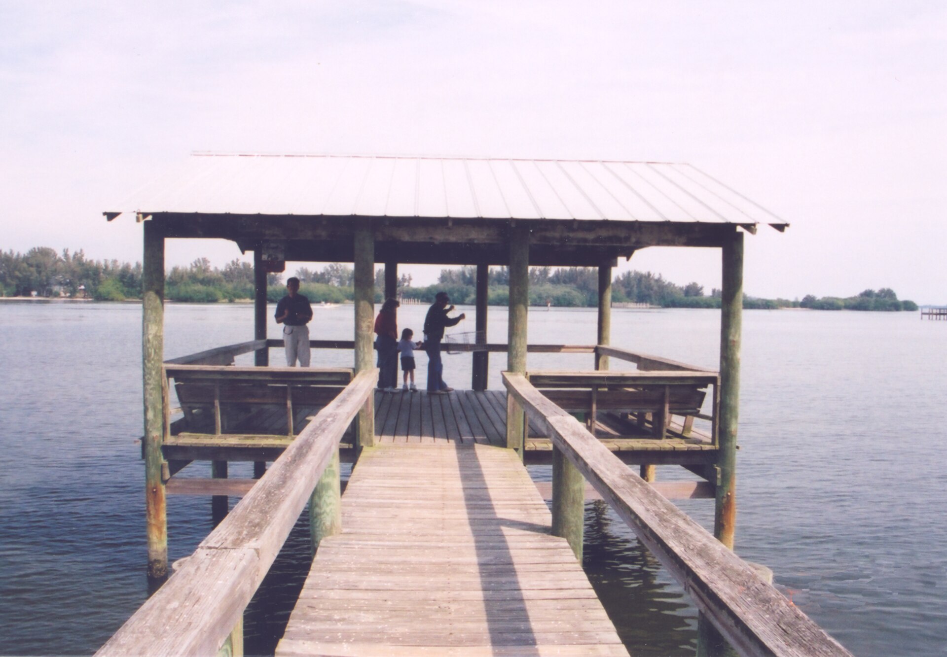
What persists is the recreational economy. Brevard’s marinas, boat ramps, fishing charters, and waterfront restaurants all exist in their current form because the ICW provides a sheltered navigation route. Cocoa Village, Eau Gallie Yacht Basin, Titusville Marina, Port Canaveral’s recreational boating facilities, all depend on the dredged channel.
The annual recreational boating revenue in Brevard County is estimated by the Florida Inland Navigation District at over $300 million, of which the majority is directly attributable to the existence of the maintained ICW. The infrastructure created over 90 years of state and federal dredging, originally for steamboats moving citrus and pineapples, now supports a recreational economy 100 times larger than the original commercial use.
Further Reading
As an Amazon Associate we earn from qualifying purchases.