The Ais People and the Indian River, 4000 BCE to 1763
Before Brevard, before Florida, before any of it, the Indian River was home to the Ais. They held the lagoon coast for centuries, traded with shipwrecked Spaniards, and disappeared with the Treaty of Paris.
The Ais held the Atlantic lagoon coast of what we now call Brevard County for at least 1,500 years before any European set foot on it. Their territory ran roughly from Cape Canaveral south to St. Lucie Inlet, hugging the Indian River and the barrier-island chain. The Spanish, who reached them in the 1560s, described a culture organized around fishing the lagoon, salvaging Spanish wrecks, and a chief whose territory was substantial enough that Pedro Menéndez de Avilés bothered to make a formal alliance with him in 1566.
By 1763 they were gone. Not assimilated, not relocated. Gone.
The lagoon as a productive home
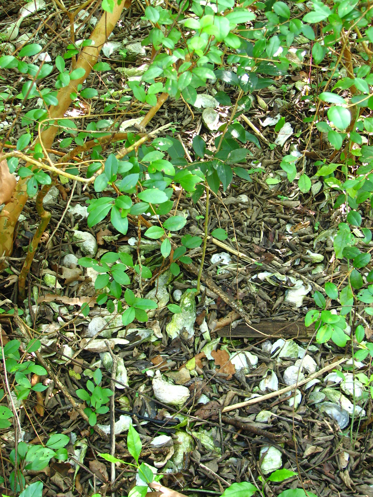
The Indian River Lagoon is the most biodiverse estuary in North America, with over 2,200 documented species. For people with cane spears, dugout canoes, and centuries of accumulated knowledge, it was extraordinary calorie density. Shell middens along the lagoon shore at sites like Turtle Mound, Castle Windy, and the inland Stallings sites contain layers of oyster, clam, conch, and fish bone that span millennia of occupation.
The archaeology shows continuity from roughly 4000 BCE forward. The St. Johns culture, the broader Indigenous tradition that includes what archaeologists later identified as Ais, was settled, semi-sedentary, dependent on the lagoon’s protein. Jerald Milanich’s Florida Indians and the Invasion from Europe lays out the timeline: small bands by 4000 BCE, recognizable village patterns by 500 BCE, complex chiefdoms by 1000 CE with chiefs whose authority extended over multiple settlements.
The Ais we know from Spanish sources were the late-period inheritors of that long line. They weren’t strangers to the place. They knew which inlets opened and closed with storms, which channels could be crossed at low tide, where the manatees fed in winter.
First contact and the wreck economy
The Spanish arrived in numbers in the 1560s. Pedro Menéndez de Avilés, founder of St. Augustine in 1565, marched south the following year to deal with Indigenous groups along the coast. His expedition reached the Ais in 1566. The Ais chief, called cacique in Spanish records, lived at a town the Spanish recorded as Ais (the people and the principal town shared the name) somewhere near what is now the Sebastian Inlet area.
Menéndez made a formal peace, gave the chief a Spanish title and a coat, and tried to establish a coastal mission system. The mission system didn’t take in Ais territory the way it did farther north among the Timucua. The Ais kept their political autonomy through the entire mission era.
What they had instead was a wreck economy. The Bahama Channel, running just offshore from the Cape, was the highway for Spanish treasure fleets coming home from Havana. Storms blew dozens of ships onto the Florida coast over the 16th and 17th centuries. The Ais salvaged what they could and held the survivors for ransom.
Jonathan Dickinson, a Pennsylvania Quaker shipwrecked near Jupiter Inlet in September 1696, walked north through Ais territory and lived to write it down. His Journal is the single best ethnographic source for the late Ais. Dickinson found the Ais hostile to outsiders, organized in towns with substantial council houses, and clearly impoverished by the time of his crossing. The wrecking economy had concentrated wealth in some Ais hands but cost them in violence and disease, and the Spanish trade with St. Augustine had collapsed.
The Spanish chronicler Pedro Menéndez Márquez had described an Ais population in the thousands a century earlier. Dickinson, walking through in 1696, saw a culture in visible decline.
What broke them
Disease did the underlying damage. Smallpox, measles, and probably yellow fever passed through Florida’s Indigenous populations in waves through the 1600s, killing on the order of 80 to 95 percent of pre-contact numbers across the peninsula. The Ais had no immunity. There is no plague-grave site documented for them specifically, because the lagoon’s acid sand soil destroys bone in a few hundred years, but the population collapse mirrors the documented pattern everywhere else in Spanish Florida.
The Yamasee raids did the rest. Between roughly 1700 and 1715, English colonists in Carolina armed Yamasee and Creek allies to raid south into Spanish Florida for slaves. The raids broke the mission system among the Apalachee and Timucua to the north. They reached the Ais. By the 1720s, the remaining Ais had been pushed onto the barrier islands or had migrated south to live among the Seminole-precursor bands forming in the Everglades.
The 1763 endpoint
Spain ceded Florida to Britain in the Treaty of Paris in 1763. The few hundred surviving Christianized Indigenous people who had concentrated near St. Augustine for protection chose evacuation to Cuba over remaining under British rule. The Ais who had clung on through disease and slave raids were among them, or they were absorbed into the new groups forming farther south. Either way, the Ais as a distinct people end in the documentary record there.
When the British surveyed Brevard a few years later, they described the lagoon coast as essentially empty of Indigenous presence. The shell middens were already centuries old. The dugout canoes still drifted ashore for decades, slowly rotting.
What remains
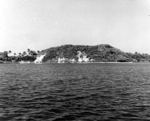
The shell middens. Most have been bulldozed over the past century for road fill and waterfront construction. Turtle Mound in Canaveral National Seashore survives because the National Park Service took title to it. A few sites along the Banana River and around the inlets have been archaeologically excavated and recorded. The artifacts sit mostly in the Florida Museum of Natural History collections at the University of Florida.
The Ais word for the lagoon is lost. So is the word they used for themselves. We have only the Spanish transliteration, and even that probably represents two or three related polities rather than a single people.
Place names from Ais survive in a few transliterated forms in the Spanish records. Pentoaya, Surruque, Tegesta, variant names of allied or rival groups along the coast. Brevard County itself was carved out of “Mosquito County” in 1855, named not for any Indigenous reference but for a state comptroller; the older Spanish-era name “Río de Ais” had been forgotten by the time American surveyors arrived.
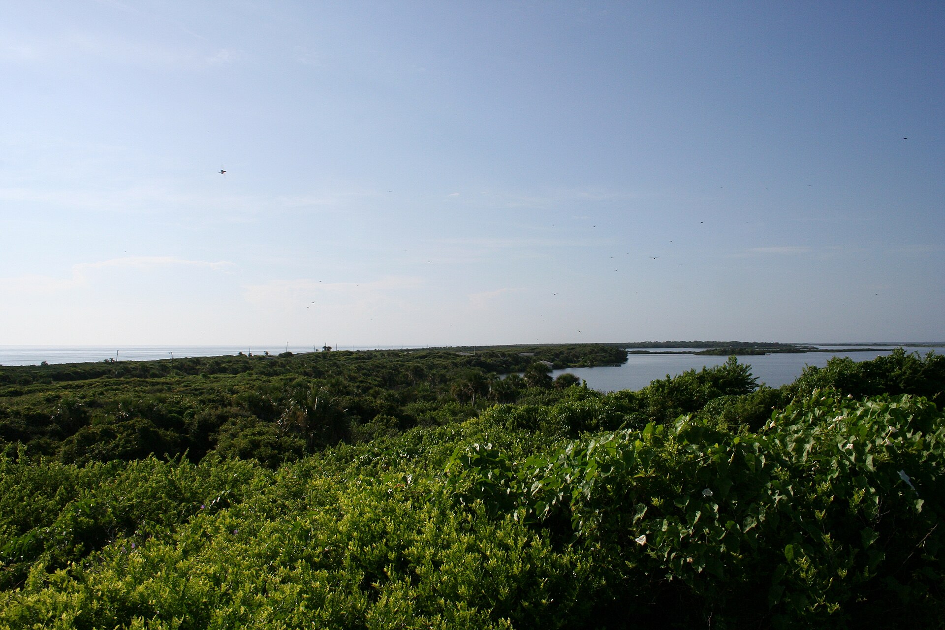
What the Ais leave us is the shape of the lagoon itself, hardly changed by them but inseparable from their long occupation. Every Indian River shoreline still produces the oysters, the redfish, the seatrout the Ais fed their families with for fifty centuries. The biological productivity that supported them is the same productivity now collapsing under nutrient pollution. The lagoon outlasts the people. We will see if it keeps outlasting us.
The 1565-1566 Menéndez expeditions, in more detail
Pedro Menéndez de Avilés reached the Ais principal town in November 1565, just two months after founding St. Augustine. He stayed long enough to secure an oath of loyalty from the Ais chief to Spanish King Philip II, then traveled approximately 15 leagues (roughly 45 miles) south to evaluate a harbor the chief had recommended for a Spanish settlement site. Menéndez deemed it unsuitable and returned. The harbor in question was likely near present-day St. Lucie Inlet.
Menéndez left approximately 200 soldiers and French Huguenot prisoners (captured from the Matanzas massacre that September) with the Ais while he sailed to Havana for supplies. To avoid friction with the Ais town, he relocated his men three leagues south to a position the Spanish called Puerto de Socorro, also known as the Presidio of Ais. Within weeks the garrison was starving. Soldiers attempted to seize food from the Ais. The Ais attacked the fort in retaliation. In December 1565 roughly 100 soldiers mutinied, marching south along the coast under Captain Juan Vélez de Medrano, and established a second outpost called the Presidio Santa Lucia in Jeaga (or Jaega) territory on December 13, 1565.
Menéndez returned in March 1566 and made a formal peace with the Ais chief, this time giving the chief Spanish titles and a coat of honor in the European style. The arrangement effectively ended Spanish settlement attempts in Ais territory. For the next 130 years, the Spanish treated the Ais coast as a transit route rather than a colonization target. The mission system that worked among the Timucua and Apalachee farther north never took hold on the lagoon coast. The Ais kept their political autonomy, kept their language, and kept their wreck-salvage economy operating until the disease and slave-raid pressures of the 1690s and 1700s broke them.
Jonathan Dickinson’s 1696 crossing, in source detail
The single best ethnographic source on the late Ais is the journal kept by Jonathan Dickinson, a 33-year-old Quaker merchant from Port Royal, Jamaica. Dickinson departed Jamaica aboard the barkentine Reformation on August 23, 1696, bound for Philadelphia with his wife Mary, his infant son, ten enslaved persons, the elderly Quaker minister Robert Barrow, and the ship’s crew. The vessel carried approximately 30 people in total. On September 24, 1696, a storm drove Reformation onto Jupiter Island, in what is now Martin County. Everyone survived the wreck itself.
The Jeaga (the Spanish-source spelling, also written Jobe) controlled the wreck site and seized nearly all the salvaged goods within hours. A crew member fluent in Spanish convinced the Jeaga that the survivors were Spanish, which Dickinson credited with preventing a massacre. The survivors then walked north up the coast under intermittent Jeaga and then Ais control. At Santa Lucea, in the heart of Ais territory, the Ais stripped the castaways of clothing and threatened them with weapons, though Ais women nursed Dickinson’s failing infant son.
The party walked roughly 230 miles north to St. Augustine over the next two months, much of it through Brevard’s lagoon coast. Five members of the group died during the journey: Benjamin Allen and four enslaved persons named Jack, Caesar, Quenza, and Cajoe. The Spanish garrison at St. Augustine treated the survivors well and arranged passage to Charleston and on to Philadelphia.
Dickinson published the journal in 1699 under the title God’s Protecting Providence Being a Faithful Narrative of a Quaker Family’s Remarkable Deliverance from the Cruel Devourers of Mankind. The work was reprinted 16 times in English in the 18th century and translated into Dutch and German. Modern scholarship treats it as one of the most reliable colonial-era accounts of Indigenous Florida coastal life, both because Dickinson was a careful observer and because the Quaker editorial tradition discouraged the dramatic embellishment common in other captivity narratives of the period. Dickinson himself became a prominent Philadelphia merchant and served two terms as mayor of Philadelphia (1712-1713 and 1717-1719) before his death in 1722.
What “Ais” probably meant
The word “Ais” appears in Spanish records as both the name of a people and the name of their principal town. The principal town sat somewhere near present-day Sebastian Inlet or possibly farther north toward the Eau Gallie area; the exact site has not been confirmed archaeologically. Spanish documents from the 1560s through the 1690s use the term inconsistently, sometimes for a single town, sometimes for a regional confederation of related Indigenous polities. John Hann’s Indians of Central and South Florida 1513-1763 argues persuasively that “Ais” probably referred to a loose chiefdom-style political unit rather than a single ethnic group, similar to how the Spanish used “Timucua” to describe several culturally related but politically distinct populations.
The Ais language is undocumented. No vocabulary list survives. The Spanish recorded a handful of personal names (the chief in 1696 was called Casique Capitano in Dickinson’s account, the prior chief in the 1560s appeared in Menéndez’s records simply as “the Cacique of Ais”). Whether the Ais language was related to Calusa to the south, Timucua to the north, or constituted its own family is unresolved and probably unresolvable, the speakers are gone, the documents do not record enough words to reconstruct grammar, and the archaeology yields no inscriptions because the culture did not write.
Further Reading
As an Amazon Associate we earn from qualifying purchases.